Dunmore East Cliff Path Adventure
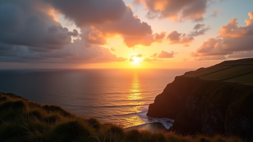
Dramatic clifftops with panoramic views across the Celtic Sea

The Route That Takes Your Breath Away
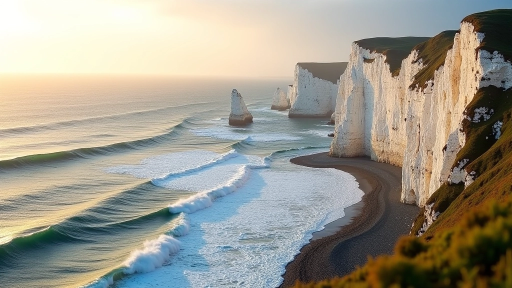
This isn't your typical coastal stroll. The Dunmore East Cliff Path climbs through dramatic landscapes where the land meets the sea in spectacular fashion. You'll traverse clifftops that drop hundreds of feet to rocky shores, pass through quiet coastal villages, and discover viewpoints that stretch across the Celtic Sea on clear days.
The walk covers roughly 8 kilometers over about 2.5 to 3 hours depending on pace. Most sections are well-defined paths, though some steeper bits require decent fitness and proper footwear. We've walked this route dozens of times and it never gets old — the light changes everything here, and every season brings something different.
What makes this walk special? It's the combination of serious height, manageable distance, and genuine solitude. You won't find tourist crowds, just honest views and the sound of seabirds overhead.
01
Getting There and Starting the Walk
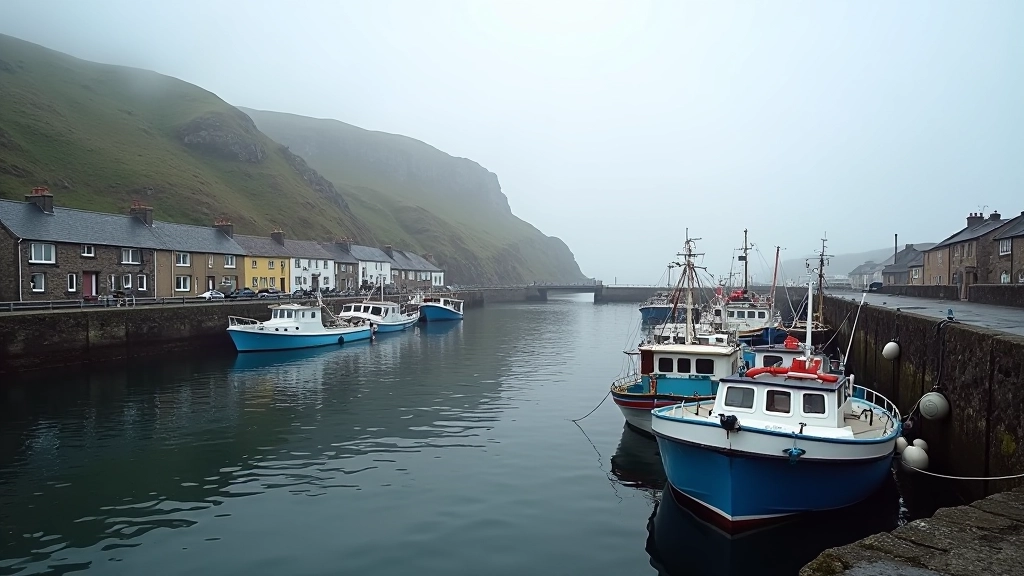
The walk begins at Dunmore East village, where you'll find parking near the harbor. From Waterford city, it's about 30 minutes by car heading south. Once you're parked, head toward the harbor area and look for the marked path that heads uphill toward the cliffs.
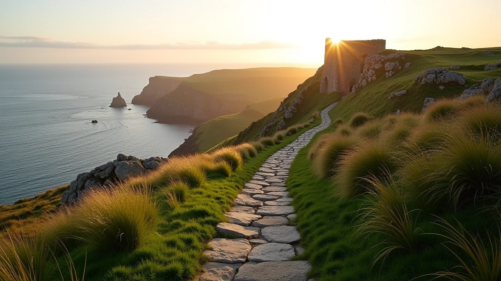
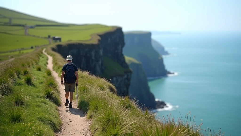
The first section climbs steadily. Don't worry — it's not brutal, just consistent. You'll gain about 150 meters elevation over the first kilometer. The reward? You'll break out onto open clifftops with nothing between you and the sea but air. The views start immediately and just get better.
The path is marked with occasional cairns and painted rocks. Visibility is generally good, but bring a map anyway. Weather can change fast out here, and cloud cover makes navigation trickier. We always bring waterproof jackets — coastal weather doesn't forgive you for forgetting one.
02
The High Cliffs and Viewpoints
Once you're on the clifftops, the landscape opens up dramatically. You're looking at cliffs that rise 200+ meters above the Atlantic. On calm days, you can see for miles. On hazy days, you'll catch glimpses of Duncannon Head and the Hook Peninsula far to the east.
There are three major viewpoints along this section. Each one has different perspectives of the rocky coast below. The second viewpoint — around kilometer 3.5 — is where most people stop for photos. It's the most dramatic, with a small cairn marking the spot. It's also where the path gets narrower, so take care with your footing.
The cliffs here drop nearly straight down. It's genuinely impressive, but it's also why you need proper attention. Don't walk backwards while looking at the view. Don't let yourself get distracted by your phone. These cliffs won't forgive carelessness.
Seabirds are everywhere — kittiwakes, fulmars, razorbills. You'll hear them before you see them, their calls echoing off the stone. It's one of the things that makes this walk feel genuinely wild.
Explore More Waterford Walks
03
The Middle Section and Descent
Around kilometer 4, the path begins to descend gradually as you move inland from the highest cliffs. You'll pass through patches of scrubland and grassland. This section is easier on the legs, which is good because you've already done the hard climbing.
This is where you'll see different wildlife — rabbits, occasionally foxes, and plenty of bird activity. The landscape feels less dramatic here but more intimate. You're closer to the vegetation, and the views shift from "across the sea" to "along the coast."
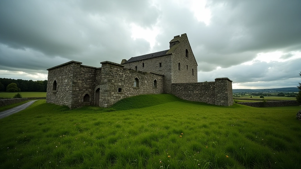
There's a small settlement around kilometer 5 with a few houses and a rough track. This marks a natural halfway point. If you're feeling tired, you could turn back here and repeat your route, making it a 10-kilometer day. Most people push on though — the second half has its own rewards.
Safety Information
This route guide is educational and informational. Walking conditions, accessibility, and safety can vary based on weather, season, and individual fitness levels. Always check current weather forecasts before heading out, wear appropriate footwear with good grip, and bring a map. The cliffs on this route are substantial — heights exceed 200 meters in places. Never walk alone if possible, let someone know your plans, and turn back if conditions deteriorate. This guide doesn't replace professional advice — consult local visitor services or experienced local guides for specific conditions on your planned visit date.
Why This Walk Matters
The Dunmore East Cliff Path isn't just a walk — it's a genuine encounter with a dramatic landscape. You'll understand why people have lived in this area for centuries. The sea, the cliffs, the light changing throughout the day — it all connects you to something bigger than a casual stroll.
We've included this route because it delivers real reward without excessive difficulty. You don't need mountaineering skills. You don't need to be a professional hiker. You do need reasonable fitness, proper footwear, and respect for the environment. Give yourself those things and you'll have a day you won't forget.
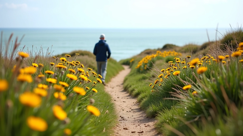
Come back in different seasons — spring when the wildflowers bloom, summer for long light, autumn when the storms roll in, winter for solitude. Each visit reveals something different about this remarkable stretch of coast.